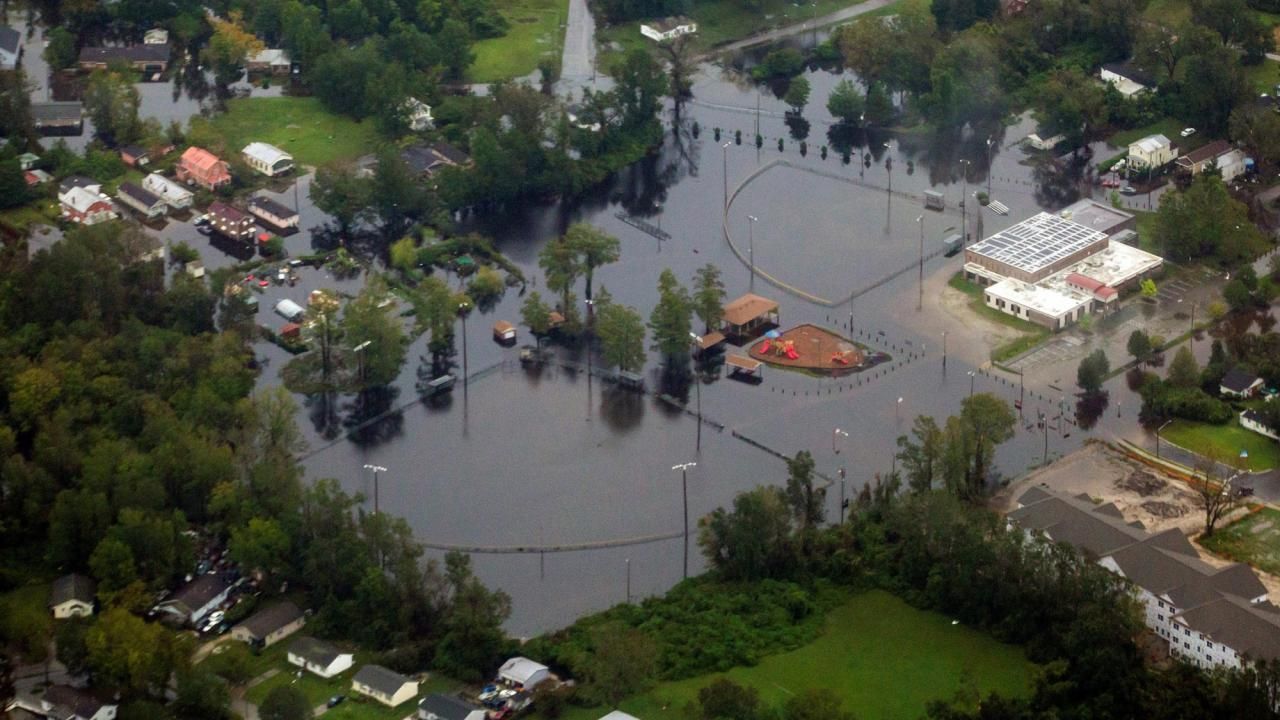
Trent River, near New Bern, reaches an all-time high
Explore images below of the Trent River from July 14, 2017, and from Sept. 19, 2018.
NASA: These false-color images use a combination of visible and infrared light (OLI bands 6-5-4) to make it easier to distinguish between flood waters and land. The Trent River reached an all-time high of 29 feet (8.8 meters) on Sept. 17, more than twice the flood stage (the height at which the river will overflow and cause damage). Water levels decreased to 24 feet (7.3 meters) by September 20, but many homes, public buildings, and roads leading to the town of Trenton are full of standing water.
Trenton is a small town in Jones County, North Carolina, and is part of the New Bern, North Carolina Micropolitan Statistical Area.
New Bern was pounded by the storm surge when Hurricane Florence inched toward the Carolinas.


